It looks like you're offline.
Open Library logo
additional options menu
Last edited by Tom Morris
January 19, 2023 | History

Alexander G. Findlay

1812 - 1875

English geographer and hydrographer

37 works Add another?

Sorting by Sorted by: Most Editions | First Published | Most Recent | Top Rated | Reading Log | Random

Showing all works by author. Would you like to see only ebooks?

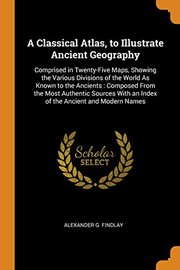
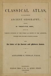
  • Cover of: Classical Atlas, to Illustrate Ancient Geography : Comprised in Twenty-Five Maps, Showing the Various Divisions of the World As Known to the Ancients: Composed from the Most Authentic Sources with an Index of the Ancient and Modern Names

    My Reading Lists:

    Create a new list

    Check-In

    ×Close
    Add an optional check-in date. Check-in dates are used to track yearly reading goals.
    Today
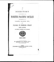
  • Cover of: A directory for the navigation of the North Pacific Ocean: with descriptions of its coasts, islands, etc., from Panama to Behring Strait and Japan, its winds, currents, and passages

    My Reading Lists:

    Create a new list

    Check-In

    ×Close
    Add an optional check-in date. Check-in dates are used to track yearly reading goals.
    Today
  • Cover of: A description and list of the lighthouses of the world: 1872-3.

    My Reading Lists:

    Create a new list

    Check-In

    ×Close
    Add an optional check-in date. Check-in dates are used to track yearly reading goals.
    Today
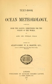
  • Cover of: A text-book of ocean meteorology: comp. from the sailing directories for the oceans of the world

    My Reading Lists:

    Create a new list

    Check-In

    ×Close
    Add an optional check-in date. Check-in dates are used to track yearly reading goals.
    Today
  • Cover of: British American Navigator [microform]: A Sailing Directory for the Island and Banks of Newfoundland, the Gulf and River of St. Lawrence, Breton Island, Nova Scotia, the Bay of Fundy, and the Coasts Thence to the River Penobscot, Etc

    My Reading Lists:

    Create a new list

    Check-In

    ×Close
    Add an optional check-in date. Check-in dates are used to track yearly reading goals.
    Today
  • Cover of: A directory for the navigation of the Pacific Ocean: with description of its coasts, islands, etc., from the Strait of Magalhaens to the Arctic Sea, and those of Asia and Australia; its winds, currents, and other phenomena ...

    My Reading Lists:

    Create a new list

    Check-In

    ×Close
    Add an optional check-in date. Check-in dates are used to track yearly reading goals.
    Today
  • Cover of: A directory for the navigation of the South Pacific Ocean with descriptions of its coasts, islands, etc., from the Strait of Magalhaens to Panama, and those of New Zealand, Australia, etc.; its winds, currents, and passages.

    My Reading Lists:

    Create a new list

    Check-In

    ×Close
    Add an optional check-in date. Check-in dates are used to track yearly reading goals.
    Today
  • Cover of: A Classical Atlas, to Illustrate Ancient Geography: Comprised in Twenty-Five Maps, Showing the Various Divisions of the World as Known to the ... with an Index of the Ancient and Modern Names

    My Reading Lists:

    Create a new list

    Check-In

    ×Close
    Add an optional check-in date. Check-in dates are used to track yearly reading goals.
    Today
  • Cover of: Volume the first  ... Being Part II.  of the Sailing Directories for the Eastern Coasts and Islands of America. The Colombian ... improved and corrected ... by A. G. Findlay.

    My Reading Lists:

    Create a new list

    Check-In

    ×Close
    Add an optional check-in date. Check-in dates are used to track yearly reading goals.
    Today
  • Cover of: Classical Atlas to Illustrate Ancient Geography

    My Reading Lists:

    Create a new list

    Check-In

    ×Close
    Add an optional check-in date. Check-in dates are used to track yearly reading goals.
    Today
  • Cover of: Directory for the North Atlantic Ocean, Comprising Instructions General and Particular for Its Navigation

    My Reading Lists:

    Create a new list

    Check-In

    ×Close
    Add an optional check-in date. Check-in dates are used to track yearly reading goals.
    Today
  • Cover of: Classical Atlas, to Illustrate Ancient Geography : Comprised in Twenty-Five Maps, Showing the Various Divisions of the World As Known to the Ancients : Composed from the Most Authentic Sources: with an Index of the Ancient and Modern Names

    My Reading Lists:

    Create a new list

    Check-In

    ×Close
    Add an optional check-in date. Check-in dates are used to track yearly reading goals.
    Today
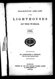
  • Cover of: Description and List of the Lighthouses of the World 1861

    My Reading Lists:

    Create a new list

    Check-In

    ×Close
    Add an optional check-in date. Check-in dates are used to track yearly reading goals.
    Today
  • Cover of: Modern Atlas: Forming a Complete Compendium of Geography, Exhibiting ... the Extent, Divisions, Physical and Political Arrangements of Every Country in the Known World, and a Map of Palestine for the Use of Scripture Students

    My Reading Lists:

    Create a new list

    Check-In

    ×Close
    Add an optional check-in date. Check-in dates are used to track yearly reading goals.
    Today
  • Cover of: Directory for the Navigation of the Pacific Ocean: With Description of Its Coasts, Islands, etc. , from the Strait of Magalhaens to the Arctic Sea, and Those of Asia and Australia; Its Winds, Currents, and Other Phenomena

    My Reading Lists:

    Create a new list

    Check-In

    ×Close
    Add an optional check-in date. Check-in dates are used to track yearly reading goals.
    Today
  • Cover of: Sailing Directory for the Coast of the United States, Between Boston and the Mississippi, Including the Gulf of Florida, and the Coast of Cuba to Havana: To Accompany the Chart

    My Reading Lists:

    Create a new list

    Check-In

    ×Close
    Add an optional check-in date. Check-in dates are used to track yearly reading goals.
    Today
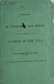
  • Cover of: Remarks on Dr. Livingstone's last journey: in relation to the probable ultimate sources of the Nile

    My Reading Lists:

    Create a new list

    Check-In

    ×Close
    Add an optional check-in date. Check-in dates are used to track yearly reading goals.
    Today
  • Cover of: A classical atlas, to illustrate ancient geography: comprised in twenty-five maps, showing the various divisions of the world as known to the ancients, composed from the most authentic sources : with an index of the ancient and modern names

    My Reading Lists:

    Create a new list

    Check-In

    ×Close
    Add an optional check-in date. Check-in dates are used to track yearly reading goals.
    Today
  • Cover of: A description and list of the lighthouses of the world, 1861

    My Reading Lists:

    Create a new list

    Check-In

    ×Close
    Add an optional check-in date. Check-in dates are used to track yearly reading goals.
    Today
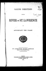
  • Cover of: Sailing directions for the river of St. Lawrence to accompany the chart

    My Reading Lists:

    Create a new list

    Check-In

    ×Close
    Add an optional check-in date. Check-in dates are used to track yearly reading goals.
    Today

History

Download catalog record: RDF / JSON
January 19, 2023 Edited by Tom Morris merge authors
September 13, 2008 Edited by RenameBot fix author name
April 1, 2008 Created by an anonymous user initial import