An edition of Survey of the high roads of England and Wales
(1817)
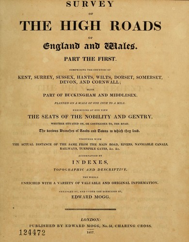
Survey of the high roads of England and Wales
part the first comprising the counties of Kent, Surrey, Sussex [etc.], planned on a scale of one inch to the mile ... accompanied by indexes, topographic and descriptive ...
by Edward Mogg
- 0 Ratings
- 0 Want to read
- 0 Currently reading
- 0 Have read
Share
×Close


This edition doesn't have a description yet. Can you add one?
Check nearby libraries
Buy this book

Previews available in: English
Places
Great Britain, EnglandShowing 1 featured edition. View all 1 editions?
| Edition | Availability |
|---|---|
1

Survey of the high roads of England and Wales: part the first comprising the counties of Kent, Surrey, Sussex [etc.], planned on a scale of one inch to the mile ... accompanied by indexes, topographic and descriptive ...
1817, published by Edward Mogg, No.51, Charing Cross
in English
|
aaaa
Libraries near you:
WorldCat
|
Book Details
Published in
London
Edition Notes
Added t.-p., engraved, with vignette, dated 1816.
Part 1 shows southern England; no more published?
Strip maps, showing country houses, parks, inns, distances, etc. Indexes include much miscellaneous information.
BM (Books) shown nos. 1-10, 162 p. [i.e. 81 pl.] 1814-15; BM (Maps) lists this copy and a "perfect" copy, which includes the indexes, 1817
The Physical Object
ID Numbers
Community Reviews (0)
Feedback?
History
- Created July 25, 2014
- 2 revisions
Wikipedia citation
×CloseCopy and paste this code into your Wikipedia page. Need help?
| May 13, 2020 | Edited by CoverBot | Added new cover |
| July 25, 2014 | Created by ImportBot | Imported from Internet Archive item record. |